Earth AI and Geospatial Agents: How AI Will Watch Over the Planet and Reshape Business
For years, the story of Earth observation was simple. Satellites flew overhead, snapped pictures, and sent them down. Then people, scientists, analysts, and mapmakers, looked at those pictures and tried to figure out what they meant. The data was rich, but the path from image to insight was slow, manual, and expensive.
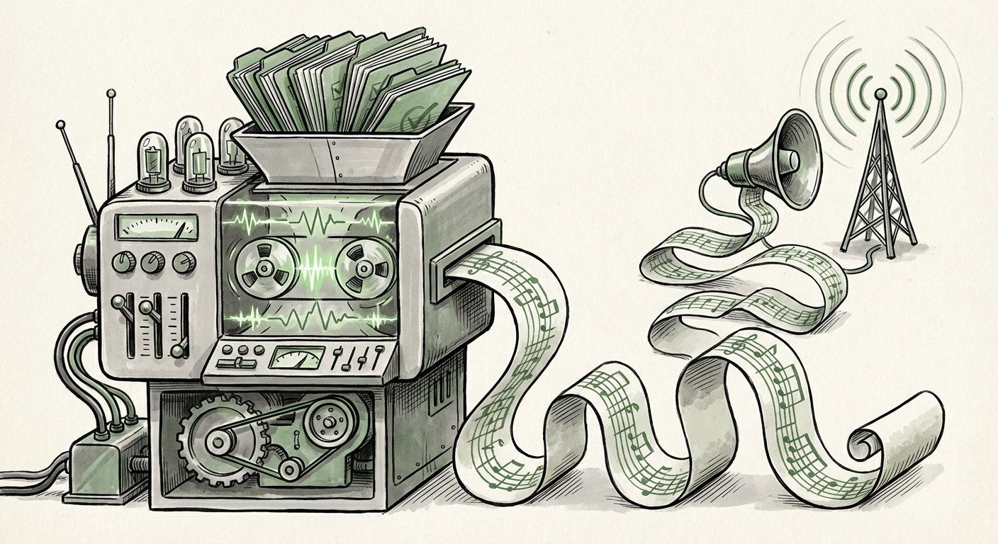
That model is now under pressure. The new push to put Earth AI to work, and specifically to build geospatial agents for the planet's biggest challenges, marks a real shift. The goal is no longer just to see the Earth better. It is to build AI systems that can ask their own questions, pull the right data, run the analysis, and hand back an answer that a person can actually use.
This is a bigger change than it sounds. It moves geospatial AI from a tool you look at to a worker you delegate to. And that has major effects on how AI will be built and used in the years ahead.
What Exactly Is a Geospatial Agent?
An agent is an AI system that can take a goal and break it into steps. Instead of answering one question, it plans. It decides which tools to use, uses them, checks the result, and tries again if something goes wrong.
A geospatial agent does this with location data. That means satellite imagery, aerial photos, maps, weather feeds, terrain models, and sensor readings from the ground. A user might ask something like: "Which fields in this region are likely to flood in the next heavy rain?" The agent would then work out the steps itself.
It might find recent imagery. It might pull in elevation data and soil data. It might check a rainfall forecast. It might run a model that combines all of it. Then it returns a map with an answer, plus the reasoning behind it.
The key point is that the person asking does not need to know how to do any of those steps. They just need to describe the problem.
From Maps to Conversations
Today, using satellite data usually means specialized software and specialized skills. A trained analyst builds a workflow. That workflow is often fragile. If a new data source shows up or a region changes, someone has to rebuild it.
Agents change the shape of that work. The workflow becomes something the AI plans on the fly. That makes geospatial analysis far more accessible. A city planner, an insurance analyst, or a farm manager could ask a question in plain language and get a usable answer.
Why This Direction Matters Right Now
Three trends are pushing Earth AI toward agents at the same time.
1. The Data Flood
Earth data is growing much faster than the number of people trained to analyze it. New satellite fleets, cheaper sensors, and open data programs mean more images arrive every week. The bottleneck has moved. It is no longer about getting pictures. It is about turning them into decisions before the moment passes.
2. AI That Can Use Tools
Modern AI systems are much better at calling tools, writing code, and chaining steps together. That is the technical foundation agents need. Geospatial work is a natural fit because it already depends on many separate tools: image processors, map services, weather models, and statistical packages.
3. Real-World Stakes
The planet's biggest problems are spatial problems. Floods, wildfires, drought, crop failure, illegal logging, and urban sprawl all happen in specific places. An AI that can reason about place has a direct path to impact.
What This Means for the Future of AI
The move toward geospatial agents tells us a lot about where AI is heading overall.
AI Is Moving From Answers to Actions
Early AI mostly answered questions. Then it started writing and coding. Now the frontier is doing. Agents that plan and execute are the next layer. Earth AI is one of the clearest testing grounds because the results can be checked against reality. A flood prediction either matches what happened or it does not.
Verification Becomes the Product
When an AI takes action, trust is everything. For geospatial agents, trust comes from showing work. Which images were used? What was the confidence level? Where did the data come from? In the future, the strongest AI products may be the ones that explain themselves best, not just the ones that answer fastest.
Physical-World Grounding
Most AI today lives in text. Geospatial agents connect language to the physical world. That link is important because it forces AI to deal with messy, real constraints: clouds blocking a view, sensors failing, borders changing, and data arriving late. Systems that learn to handle that mess will be far more useful in every industry.
Small Models Working Together
No single model can do all of geospatial analysis. The realistic design is a team: one model reads images, another reads text, another runs calculations, and a planner model coordinates them. This "system of models" approach is likely to become the norm across enterprise AI.
Practical Implications for Business and Society
The shift from maps to agents opens up uses that were previously too slow or too costly.
Agriculture and Food Security
Farmers and agronomists could ask an agent to flag fields showing early signs of stress, then get a short list of where to send crews. Instead of scanning whole regions by hand, the agent narrows the search. That saves time and fuel, and it can catch problems earlier.
Insurance and Risk
Insurers need to know what happened where, and when. After a storm, an agent could compare before and after imagery, estimate damage by area, and draft a report. The same capability helps with underwriting: agents can track how risk is changing block by block over years.
Disaster Response
In an emergency, speed matters more than polish. An agent could pull the latest imagery, overlay road and population data, and highlight where access is cut off. That gives response teams a working picture in minutes rather than days.
Supply Chains and Logistics
Ports, rail lines, and warehouses all sit somewhere. Agents can watch those places for disruption, flooding at a terminal, smoke near a highway, construction blocking a route, and feed alerts into planning systems.
Climate and Environmental Reporting
Companies face growing pressure to prove what is happening on the ground. Geospatial agents can monitor land use change, track deforestation near supply areas, and produce evidence that stands up to scrutiny. That turns a reporting burden into a monitoring habit.
Cities and Infrastructure
Planners can ask questions like where new trees would cool streets the most, or which areas are losing green space fastest. Agents can run those comparisons across years of imagery without a dedicated remote-sensing team.
The Hard Problems Nobody Should Skip
None of this is automatic. Several challenges will decide whether Earth AI delivers or disappoints.
- Accuracy and false confidence. An agent that sounds sure but is wrong is worse than no agent at all. Confidence scores and human review points are not optional.
- Data access and cost. High-resolution imagery and specialized datasets still cost money and come with license limits. Agents can only use what they are allowed to reach.
- Latency. Some decisions need answers in seconds. Running heavy models on large images is not instant, and the design has to account for that.
- Governance and privacy. Detailed overhead imagery raises real questions about surveillance and consent. Clear rules matter, especially for public-sector use.
- Skills and change management. Teams need to learn how to brief an agent well, check its output, and know when to trust it.
There is also a quieter risk: over-automation. Geospatial decisions often affect people's homes, livelihoods, and safety. Keeping a human in the loop for high-stakes calls is not a weakness. It is good design.
Actionable Insights: How to Prepare
For leaders watching this space, the practical steps are clearer than they might seem.
- Start with one decision, not one dataset. Pick a decision you make weekly that depends on location, site selection, damage triage, route risk, and design around that.
- Map your data before you map the model. Know what imagery, maps, and sensor feeds you can legally use. Access is usually the real constraint.
- Demand traceability. Any geospatial agent you buy or build should show its sources and its confidence. Make that a requirement in procurement.
- Build review into the workflow. Have a human sign off on anything that affects money, safety, or people's rights.
- Train people to ask better questions. The biggest productivity gain comes from staff who know how to brief an agent clearly.
- Watch the interfaces, not just the models. The winners in Earth AI will likely be the ones that make complex spatial reasoning feel simple.
The Road Ahead
The idea of putting Earth AI to work through geospatial agents is more than a technical milestone. It is a change in how we relate to planetary data. For decades, we collected information about the Earth and then struggled to keep up with it. Agents offer a way to close that gap, turning a flood of images into timely, understandable guidance.
The same pattern will repeat across other fields. Once AI can plan, use tools, and check its own work against the physical world, it stops being a novelty and starts being infrastructure. The organizations that prepare now, with clean data, clear rules, and people who know how to work alongside agents, will get the most from that shift.
The planet is not getting simpler. But the tools for watching over it are finally getting smarter.